There are two reasons to put GIS data on the web; for visualizations and for data distribution. These functions are often combined together into a single web page. However, they are also often done extremely poorly and at great expense.
Note that people are starting to do GIS data collection and some analysis on the web. In some cases, like Google Earth Engine, this can provide valuable services. In others, it can waste a great deal of time for nothing.
There are three easy things you can do to put spatial data and spatial analysis results on the web:
Static maps are just images that you have placed on the web for viewing. You have seen a number of these on these pages and all of them were created using the approach below.
All you have to do to have good looking maps on the web is to create them in just the same way we have been in class and then:
If you are going to put a photo on the web you can use the "JPEG" format but be careful with the compression because it can quickly ruin your maps. PNG is a better choice because it will compress your maps somewhat but will not hurt the quality of fine lines and text.
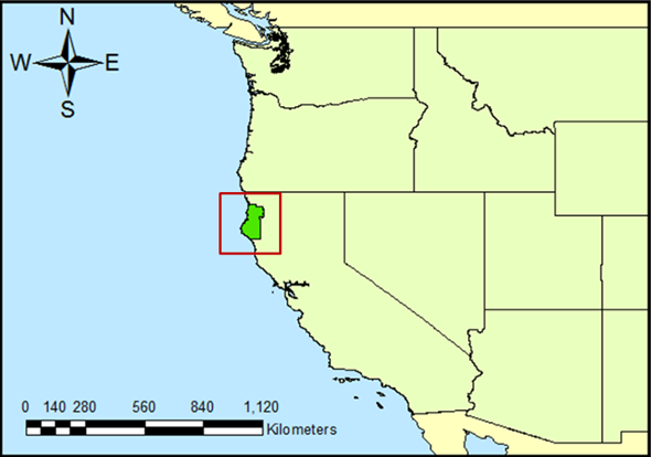
Sample Map at About 100 dpi
Images on web pages do not need to be at the highest resolution available for your digital camera. Keep the images to about 100 dpi and you'll see they look the same as much higher resolution images and they will take much less time to download.
During class, you have downloaded a number of data sets in "zipped" files. All you have to do to distribution your data on the web is to:
Now, when the user clicks on the link, they will be asked where they want to save the file.
For success:
Portable Document Format (PDF) is a well-supported format for distributing electronic versions of printed material. PDFs can be "printed" using print drivers from Adobe or 3rd parties. PDFs are an excellent choice for distributing documents because they maintain the quality of the document across a large variety of printers.
You can now place spatial data into a "GeoPDF" file format. However, this data cannot be easily downloaded so this is not recommended to distribute spatial data.
Avoid publishing papers in MS-Word or LATEX. These products are only popular on MS-Windows computers and UNIX computers, respectively.
© Copyright 2018 HSU - All rights reserved.